MAP 2
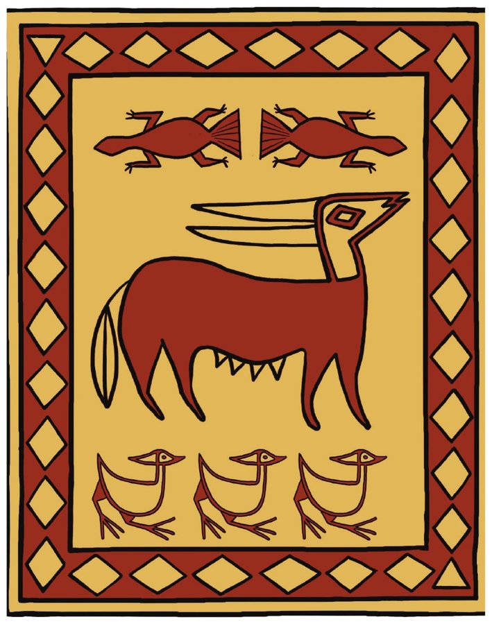
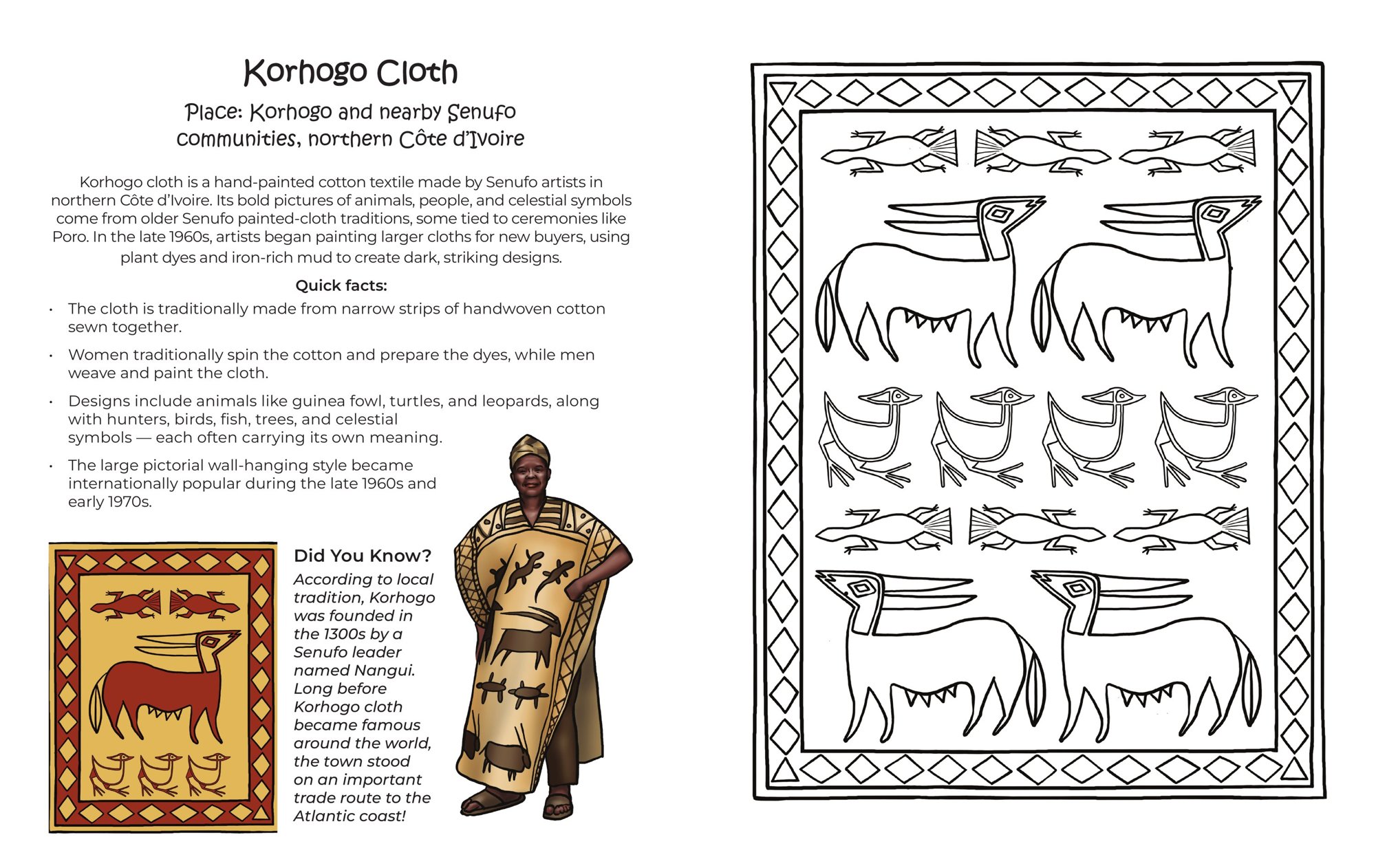
Korhogo Cloth
Korhogo and nearby Senufo communities, northern Côte d’Ivoire
By Nicka / Illustrated by Olha Tkachenko
For ages 8 and up, at home, in the classroom, or in the library.
Côte d’Ivoire is home to many peoples and many cloth traditions. In this book, young readers travel across the country to discover ten of them, from painted Korhogo cloth in the north to bright Kita cloth on the southeastern coast.
Each cloth has two facing pages. On the left page, children discover where the cloth comes from, learn about the people and traditions connected to it, and see one colored version of the design. On the right page, the same cloth design is waiting for them to color — following the colors shown on the left, or creating a color combination of their own.
Throughout this series, “prints” opens the door to many kinds of African textile traditions — including weaving, painting, dyeing, stamping, embroidery, raffia work, barkcloth, and patterned cloth.
Approximate cultural and weaving areas
Tap a number on the map to explore each cloth.
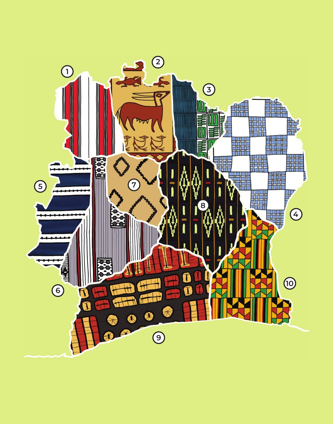
These areas are approximate. Textile traditions often cross community and regional boundaries.
Numbers match the textile map above.
Korhogo and nearby Senufo communities, northern Côte d’Ivoire
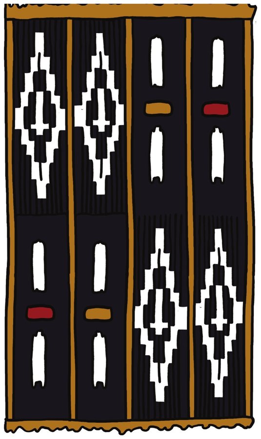
Central Côte d’Ivoire — especially Bomizambo, in the Tiébissou area near Yamoussoukro
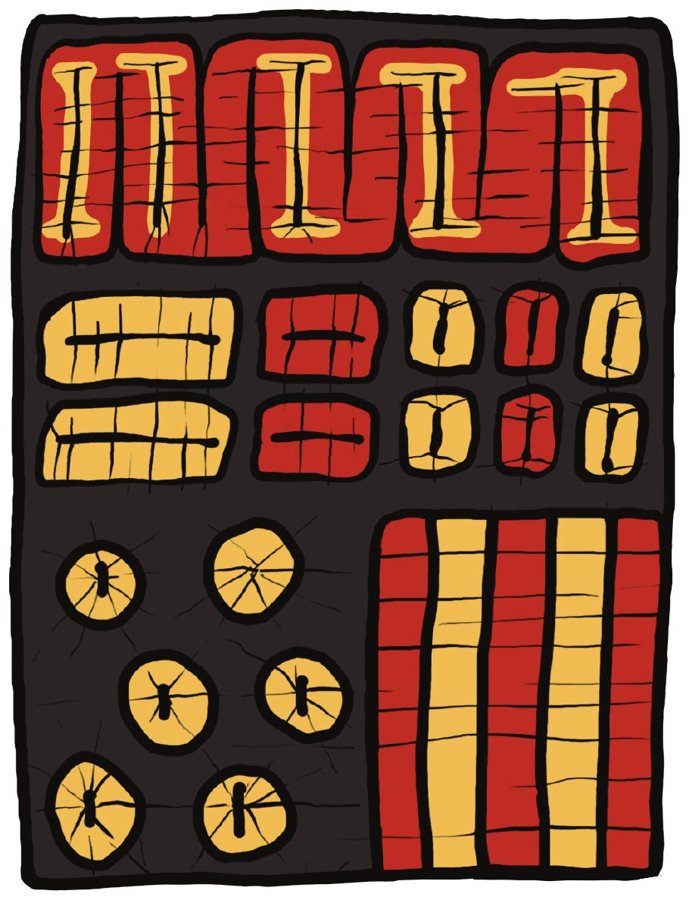
Southwestern Côte d’Ivoire, Dida country, around the town of Divo
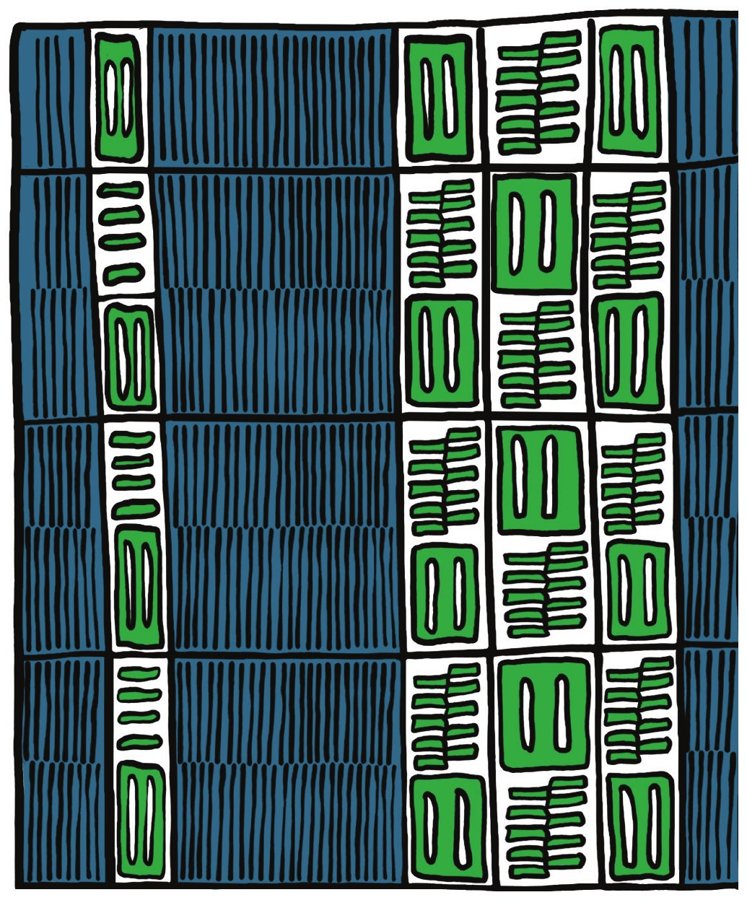
Northern Côte d’Ivoire — the village of Waraniéné, near the city of Korhogo
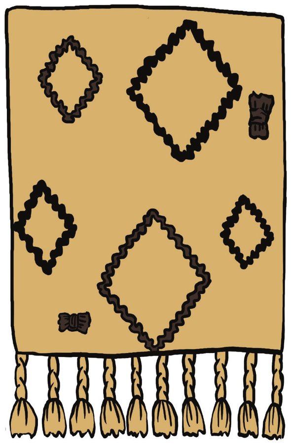
West-central Côte d’Ivoire, Bété territory (Daloa and Gagnoa areas)
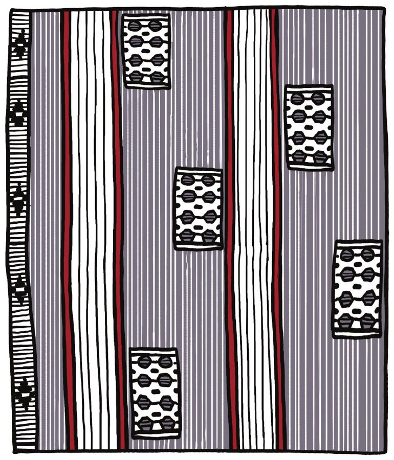
Central-West Côte d’Ivoire — around Sinfra and Gagnoa
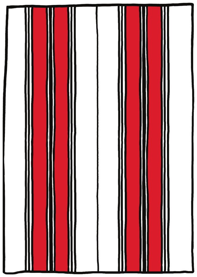
Northwestern Côte d’Ivoire — Odienné, in the Denguélé District
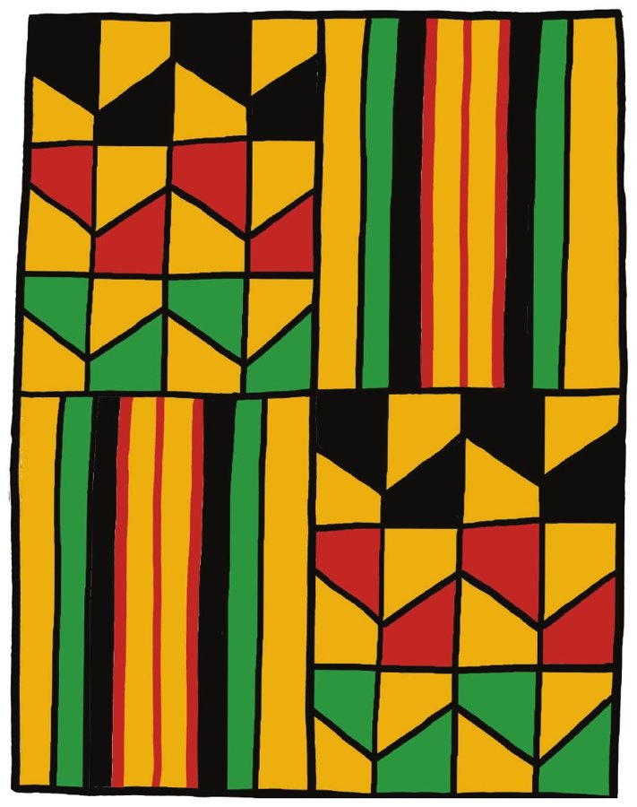
Grand-Bassam and southeastern Côte d’Ivoire
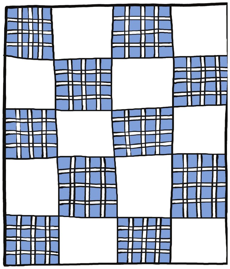
Kanguélé village, near Bondoukou, northeastern Côte d’Ivoire
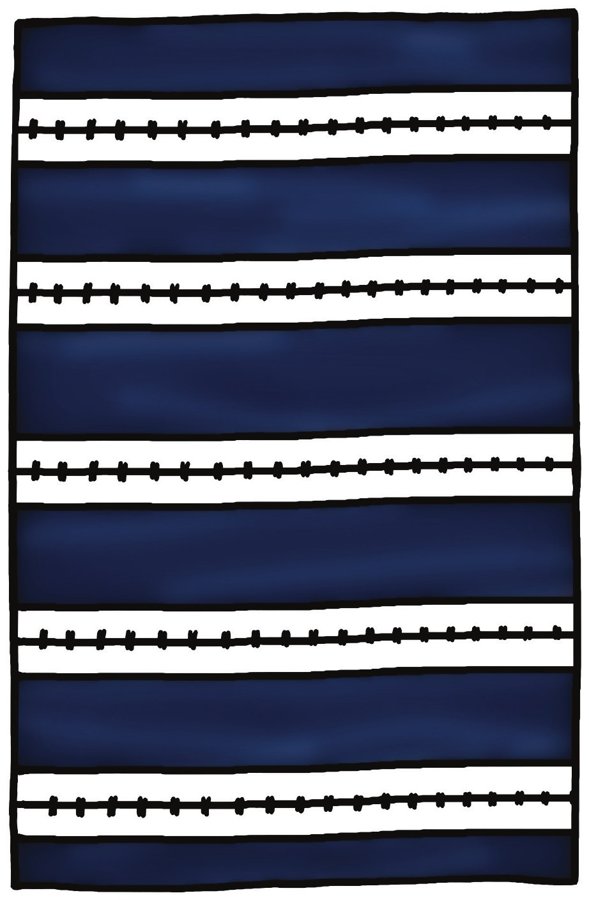
Western Côte d’Ivoire — around the city of Man
Inside you’ll find:
Book 1 of the Discover Africa Through Its Prints series.
First edition, 2026 · ISBN 979-8-9984650-0-0 · Published by Nicka Publishing